EXTRICATING NDONESIAN CHILDREN FROM ISIS INFLUENCE ABROAD
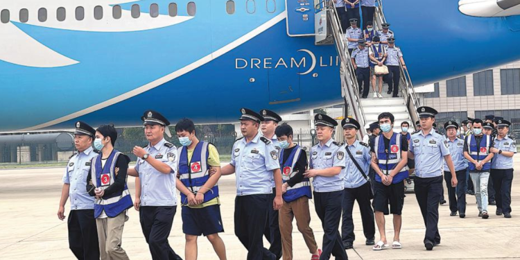
Indonesia urgently needs to revisit the possibility of repatriating the neediest of its young citizens stranded abroad, whose families had earlier joined ISIS. Most of these children are in camps in northern Syria but there are also small numbers in the Philippines, Afghanistan and Iraq. “Extricating Indonesian Children from ISIS Influence Abroad”, the latest report from the Institute for Policy Analysis of Conflict (IPAC) argues that the government could begin by bringing back small groups of unaccompanied children under ten years of age, who pose minimal security risk and are most vulnerable to deteriorating conditions in the camps.“The problem is that health and security conditions are worsening by the day in the Syrian camps, and the children are growing older,” says Dyah Kartika, IPAC analyst. “They need access to schools, a nurturing environment, and medical attention. If the government waits too long, the children will be further exposed to ISIS ideology.” The new report examines a 2019 list of Indonesians in camps and prisons run by the Kurdish Syrian Democratic Forces (SDF). The Indonesian government has been trying to verify their citizenship, but with pseudonyms, misspellings and bad transliterations, it is a daunting task. At the time the data was collected, between March and June 2019, there were 555 Indonesians in SDF camps and prisons, including 367 children. Among the children, approximately 277 were under the age of ten and 34 were unaccompanied. In June 2021, there are fewer than ten children who are both unaccompanied and under the age of ten that could be prioritized for return. Bringing back children of ISIS families is no easy task. The report analyses the main challenges faced by the Indonesian government. These include definitional issues, bureaucratic competition, the difficulty of verifying nationality, evaluating the toll of exposure to conflict, assessing security risk, and finding relatives or others willing to provide care once the children are returned. In addition, COVID has meant stringent restrictions on travel, placing further obstacles in the way of repatriation. There are several models for rehabilitation of children exposed to violent extremism in Indonesia that could be modified to accommodate the needs of children repatriated from abroad. The report examines these models and argues that the government does not need to have every detail of rehabilitation programs in place before it starts extricating children from ISIS influence. It can start by bringing back the most vulnerable children and then modify programs as needed.
“It’s important that the government see these children as victims” says Dyah. “They deserve a chance to be children again.”


